the incomparable
Tuolumne Meadows
Yosemite Wilderness, California, USA
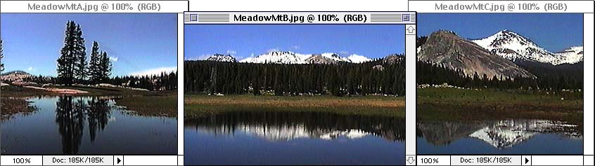
Spring came late in 1998 to the High Country in Yosemite.
After a record winter, the snow was finally cleared from Tioga Road, which opened July 1st.
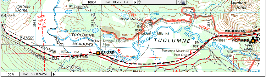
These pictures were taken on the 6th, from the spot marked "03:35P" on the gpsMap below.
At an elevation of 8500 feet (2591m), the sky really is a deeper shade of blue.
The ground is soaked after all that snow melts,
so there are lots of convenient ponds to reflect on.
Below the map is another story, map, and pictures from nearby Lyell Canyon.
Hiking Lyell Canyon
up the Lyell Fork of the Tuolumne River
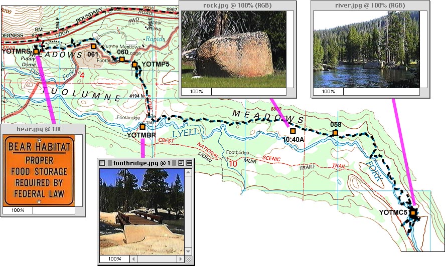
Rarely does a backpacking trip go exactly as planned.
Mapped landmarks can look similar,
and trails are sometimes rerouted.
You may suspect your map is wrong, or you could be mistaken.
The idea was to hike South,
crossing the Lyell fork of the Tuolumne at a footbridge,
then take the John Muir Trail West.
Lacking a map for the Northern part of the hike,
the Dana Fork of the river seemed like the Lyell Fork.
There was a nice footbridge,
but then the expected trail intersection was not on the other side.
A little backtracking is visible near the waypoint called "YOTMP5".
Farther South, just before the footbridge at the Lyell crossing,
the trail crosses an area of solid rock,
where there is no visible trail.
After looking around, a trail appeared going West on the North side of the river.
It was getting late, so the trail seemed like a good choice.
Going up river, through green meadows full of glacier-deposited boulders,
camp was made at "YOTMC5".
Hint: bear-bagging your food isn't easy - especially after it gets dark.
The missing footbridge was discovered during the return trip.
Serendipitous wandering can sometimes be a fine substitute for precise planning.