|
|
|
|
 |
| hiking |
|
|
|
|
|
|
|
Hiking
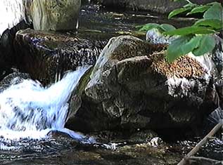
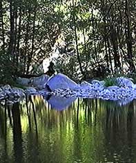 Hikers usually have a destination in mind:
a lake, stream, mountain, or just a sunny spot.
The trails or roads you'll take to get there
often already appear on a good map.
Hikers usually have a destination in mind:
a lake, stream, mountain, or just a sunny spot.
The trails or roads you'll take to get there
often already appear on a good map.
The maps of choice for US backpackers
are made by the United States Geological Survey (USGS).
The USGS "7.5 Minute" series of topographic maps
are available from Wild Rose,
at many outdoor-related stores,
or they can be ordered directly from
the USGS.
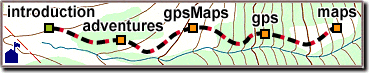
Before your journey, we can make a custom map or "brochure"
covering just your area of interest.
Grid lines can help you to utilize a GPS receiver during your trip,
and we can plot your intended trail, route, or destinations.
After the journey, map where you went and what you found.
Share the journey with a friend,
or plan next year's trek.
If you have data from a GPS receiver,
or other Earth coordinates ready to plot,
the process is quick and inexpensive,
but this isn't required.
We can translate, adjust, convert, calculate,
and plot just about anything.
|
|
|